Newsletter Subscription
Environmental News
Monthly Newsletter
Sign up today for our monthly newsletter with helpful air dispersion modeling tips!
Let's Get you Signed Up!
Get the best tips and information for your modeling needs right to your inbox!
Available Products and Services
-
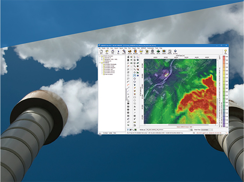
AERMOD View
LEARN MORE -
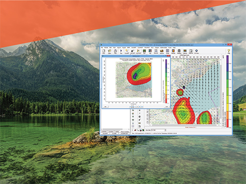
CALPUFF View
LEARN MORE -

Met Data
LEARN MORE -

Training
LEARN MORE -

AQMIS SaaS
LEARN MORE