CALRoads View
Traffic Air Dispersion Model
CALRoads View is an air dispersion modeling package for predicting air quality impacts produced by mobile sources at or near roadways and roadway intersections.
Three U.S. EPA models – CALINE4, CAL3QHC, & CAL3QHCR – are combined into one seamless graphical interface. These models predict air pollution concentrations of carbon monoxide (CO), nitrogen dioxide (NO2), particulate matter (PM), and other inert gases.
3 Models in 1 Integrated Interface!
The CALINE 4 model developed by the California Department of Transportation (Caltrans) predicts air concentrations of carbon monoxide (CO), nitrogen dioxide (NO2), and suspended particles near roadways. Options are available for modeling near intersections, parking lots, elevated or depressed freeways, and canyons.
The CAL3QHC model estimates total air pollutant concentrations (CO or PM) near highways from both moving and idling vehicles. This model also estimates the length of queues formed by idling vehicles at signalized intersections.
The CAL3QHCR model is an enhanced version of CAL3QHC, that can process up to a year of hourly meteorological data. Vehicular emissions, traffic volume, and signalization (ETS) data can be specified for each hour of a week.
CALRoads View Key Features
CALRoads View is an industry-leading tool for modeling mobile sources, offering a comprehensive set of features that simplify the modeling process. Its user-friendly interface allows for quick and easy creation and execution of models, making it an essential tool for professionals.
Integrated Interface
Fully integrated GIS-based interface combining easy to use graphical tools.
Met Scenarios
Provides flexibility in capturing different environmental conditions for air quality assessments.
Unlimited Receptors
Run projects with an unlimited number of receptors, avoiding the restrictions imposed by the models.
Pre-Processor
Pre-process meteorological data for the CAL3QHCR model with Rammet View.
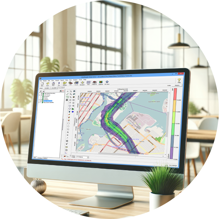
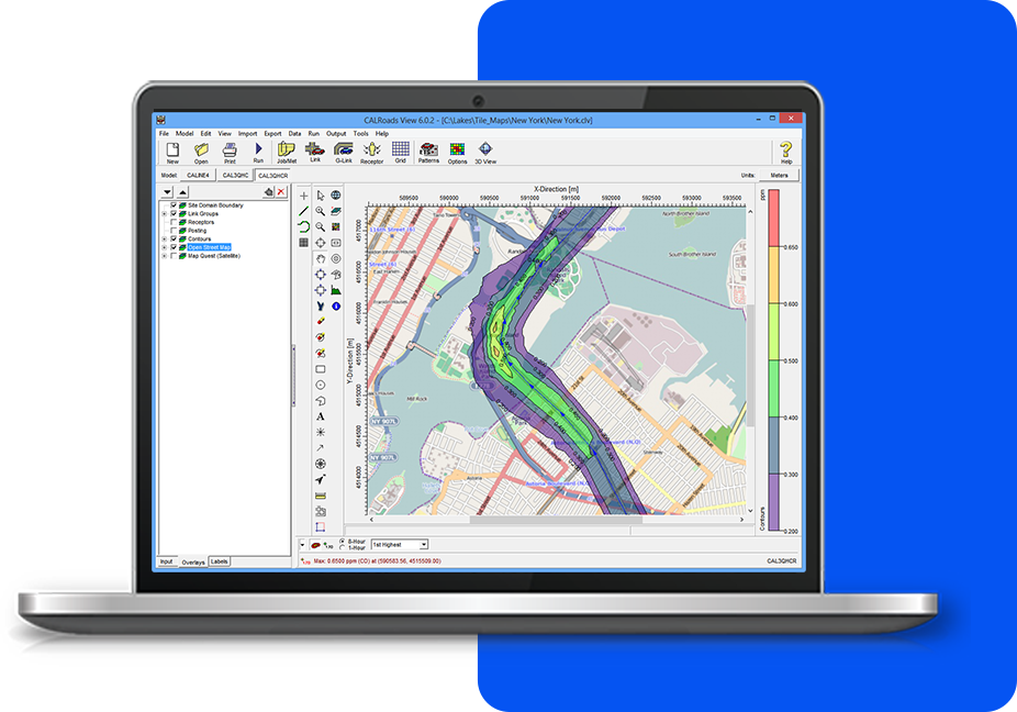
Tile Maps
Automatically download and import high-resolution satellite and street map imagery into your projects.
Link Types
Ability to model free-flow traffic, intersections, traffic patterns and different receptor configurations.
Empowering Air Quality Professionals with
an All-in-One Software Package
We’re here to make things easy! Here’s a list of everything included with your software purchase:
Software Updates
Technical Support and Resources
Popular Features
System Requirements
Our products are Microsoft Windows-based programs that can be installed in the following Windows operating systems:
- 32-bit and 64-bit Operating Systems
- Windows 10 or 11
Minimum Requirements:
- An Intel Pentium 4 processor (or equivalent) or higher
- At least 2 GB of available hard disk space
- 1 GB of RAM (2 GB recommended)
CALRoads View Software and Maintenance
CALRoads View
- 1 Year Access to Maintenance/Technical Support
- 1 Year Access to Software Updates
- Automatic Download of Tile Maps
- User's Guides and Manuals
CALRoads View Maintenance
- Software Updates
- Technical Support
- Automatic Download of Tile Maps
- User's Guides and Manuals