System Requirements
Our products are Microsoft Windows-based programs that can be installed in the following Windows operating systems:
- Windows 10 or 11
Note: ARM-based processors (e.g., Qualcomm Snapdragon, Apple M1/M2/M3, Raspberry Pi, etc.) are not supported.
Minimum Requirements:
- 64-bit Intel or AMD processor with x86-64 architecture
- 2 GB of available hard disk space
- 2 GB of RAM
Recommendations:
- Intel Core i5/i7/i9 or AMD Ryzen series processor
- At least 20 GB of available hard disk space
- At least 4 GB of RAM
Model Specifications
Click on the tabs below to display the model specifications for each product.
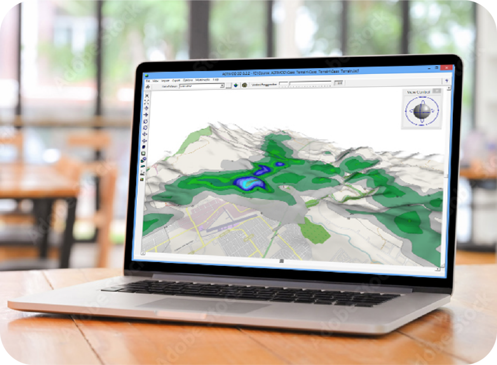
AERMOD View is an interface for the AERMOD, ISCST3, and ISC-PRIME US EPA air dispersion models.
| Model Name: | AERMOD |
| Developed by: | AERMIC – (American Meteorological Society (AMS) and United States Environmental Protection Agency (US EPA) |
| Model Type: | Steady-state Gaussian plume air dispersion model |
| Range: | Up to 50km from the source |
| Atmospheric Stability Model: | Planetary boundary layer theory, turbulence scaling concepts |
| Windfield: | Homogeneous |
| Release Types: | Buoyant or neutrally buoyant plumes |
| Emission Types: | Constant or time-varying, planned or fugitive |
| Atmospheric Chemistry: | NOX to NO2 and SO2 decay |
| Source Types: | Point, area, volume, open pit, line*, flare* |
| Meteorology: | Hourly surface and upper air data (processed by AERMET) |
| Terrain: | Flat or elevated (terrain processed by AERMAP) |
| Receptors: | Several types of grids (Cartesian, polar) and discrete receptors |
| Other Options: | Building downwash (modeled by BPIP-PRIME) |
| Regulatory Status: | Preferred US EPA regulatory model for near-field applications |
AERSCREEN View is an interface for the AERSCREEN US EPA air dispersion model.
| Model Name: | AERSCREEN |
| Developed by: | United States Environmental Protection Agency (US EPA) |
| Model Type: | Steady-state Gaussian plume screening-level air dispersion model (interfaces with the AERMOD model) |
| Range: | Up to 50km from the source |
| Atmospheric Stability Model: | Planetary boundary layer theory, turbulence scaling concepts |
| Release Types: | Buoyant or neutrally buoyant plumes |
| Emission Types: | Constant or planned or fugitive |
| Atmospheric Chemistry: | NOX to NO2 (OLM and PVMRM methods) |
| Source Types: | Point, area, volume, flare* |
| Meteorology: | Site-specific matrix of meteorological conditions generated by MAKEMET |
| Terrain: | Flat or elevated terrain (preprocessed by AERMAP) |
| Receptors: | Automatically-generated receptor array out to user-defined maximum downwind distance and up to 10 discrete receptor distances |
| Other Options: | Building downwash (modeled by BPIP-PRIME) |
| Regulatory Status: | Preferred US EPA regulatory model for near-field applications |
AUSTAL View is an interface for the AUSTAL model. See below the technical specifications for this model:
| Model Name: | AUSTAL |
| Developed by: | German Federal Environmental Agency (UBA) |
| Model Type: | Lagrangian particle tracking air dispersion model |
| Range: | 100 times the source height. For example, for a stack height of 250 m a range of up to 25 km in radius is realistic. |
| Source Type: | Point, area, volume, line, cooling tower |
| Pollutants and Emissions: | Multiple pollutants can be modeled in a single run. Emissions can be specified as constant or time-dependent. |
| Meteorology: | Hourly meteorological data in AKT, AKTerm, and AKS formats are accepted by the model. The AKT, AKTerm format contains the hourly data for wind direction, wind speed, and stability class according to Klug/Manier. The AKS file contains the statistics of wind direction, wind velocity and dispersion class. Note: To support users without access to the above met file formats, AUSTAL View accepts a CSV file with the following hourly met data parameters: wind direction (deg), wind speed (m/s), and Monin-Obukhov Length (m). |
| Terrain: | Flat or Elevated. The model accepts terrain data in GridASCII format. Note: AUSTAL View accepts the following terrain data formats: GridASCII, XYZ, USGS DEM, and SRTM. |
| Receptors: | Single or nested grid, monitor points |
| Other Options: | Several additional model options are available, such as:
|
| Output Type: | The output type depends on the pollutant being modeled. Examples of possible outputs are:
|
| Regulatory Status: | Regulatory air dispersion model in Germany |
For a full description of the AUSTAL model, please see the model documentation below:
AUSTAL Model Documentation (English)
AUSTAL Programmbeschreibung (German)
CALPUFF View is an interface for Lakes Environmental’s CALPUFF modeling system. See below the technical specifications for this model:
| Model Name: | CALPUFF |
| Model Type: | Non-steady state Gaussian Puff model |
| Range: | 200-300km from the source |
| Time Step: | 1-hour (Version 5.8), Variable down to the second (Version 6 & Version 7) |
| Terrain: | Elevated, processed by TERREL |
| Building Downwash: | Modeled by BPIP or BPIP-PRIME |
| Source Types: | Point, area, volume, line, flare (V7 only), road (V7 only) |
| Meteorology: | Hourly surface, upper air and precipitation data and/or prognostic data (e.g. MM5 or WRF) |
| Wind Field: | Three dimensional |
| Release Types: | Buoyant or neutrally buoyant plumes |
| Emission Types: | Constant or time-varying, planned or fugitive |
| Atmospheric Chemistry: | MESOPUFF II, RIVAD/ARM3, SOA, Radiological decay, ISORROPIA, and user-specified transformation rates |
Developed by the California Department of Transportation and the U.S. Environmental Protection Agency, the CALINE series of models are steady-state Gaussian plume models specifically designed to calculate air quality impacts from vehicle emissions.
| Feature | CALINE4 | CAL3QHC | CAL3QHCR |
| Models CO, PM, Inert Gases | X | X | X |
| Models NO2 | As Inert Gas | X | As Inert Gas |
| Unlimited Receptors | X | X | |
| 4 Roadway Types (At-Grade, Depressed, Fill, Bridge) | X | X | X |
| Intersections & Queuing Links | X | X | X |
| Street Canyons & Bluffs | X | ||
| Parking Lots | X | ||
| Surface Roughness Considerations | X | X | X |
| Process Multiple Meteorological Conditions | X | X | |
| Process Up to 1 Year of Actual Meteorological Data | X | ||
| Urban or Rural Dispersion Modes | X | ||
| Multi-Tier Hourly-Varying Emissions | X |
See below the technical specifications for the EcoRisk program:
| Program Name: | EcoRisk View |
| Developed by: | Lakes Environmental Software |
| Risk Assessment Type: | Ecological |
| Input Air Dispersion Modeling Data: | AERMOD or ISC format plot files |
| Risk Receptor Types: | Determined by Foodweb: brackish marsh, fresh water, salt marsh, short grass prairie, shrub/scrub, tall grass prairie, upland forest |
| Pollutant/COPC Database: | SLERAP Appendix A, plus user defined database |
| Regulatory Status: | SLERAP is the US EPA current protocol and is fully supported by EcoRisk View |
IRAP-h View is the interface for conducting a comprehensive multi-pathway human health risk assessment. See below the technical specifications for this model:
| Model Name: | Human Health |
| Protocol: | Implements the US EPA Human Health Risk Assessment Protocol (HHRAP) |
| Input Air Dispersion Modeling Data: | AERMOD or ISC format plot files |
| Risk Receptor Types: | Adult and Child Resident, Farmer and Fisher Scenarios |
| Pollutant/COPC Database: | HHRAP companion database, plus user defined database |
| Regulatory Status: | HHRAP is the US EPA’s current human health protocol and is fully supported by IRAP-h View |
SLAB View is an interface for the SLAB model. See below the technical specifications for this model.
| Model Name: | SLAB – An Atmospheric Dispersion Model for Denser-Than-Air Releases |
| Developed by: | Dr. Donald L. Ermak, Lawrence Livermore National Laboratory (LLNL) |
| Model Type: | Multi-phase model with Steady-state Gaussian Plume model and transient puff modes |
| Time Step: | Seconds |
| Range: | Near Field |
| Source Types: | Evaporating pool, horizontal jet, vertical jet or stack, instantaneous or short duration evaporating pool |
| Release Types: | Denser than air plumes |
| Meteorology: | User defined meteorological conditions |
| Windfield: | Homogeneous |
| Emission Types: | Emergency release, continuous and transient emissions |
| Atmospheric Chemistry: | Not modeled |
| Output Type: | SLAB produces outputs of chemical concentrations at various positions downwind and at specified heights above the ground |
| Regulatory Status: | US EPA Alternative Model |
SCREEN View is an interface for the SCREEN3 model. See below the technical specifications for this model.
| Model Name: | US EPA SCREEN3 |
| Model Type: | Single source Gaussian plume screening model |
| Release Types: | Denser than air plumes |
| Meteorology: | Full meteorology, single stability class, single stability class and wind speed |
| Terrain: | Flat, simple, complex, simple + complex |
| Receptors: | Automated receptor array and discrete receptors |
| Other Type: | Building downwash, shoreline fumigation |
| Output Type: | Text output file and XY graph (interface feature) |
| Regulatory Status: | US EPA approved screening model |