-
SOFTWARE SOLUTIONS
INTELLIGENT, ROBUST, EASY-TO-USE
-
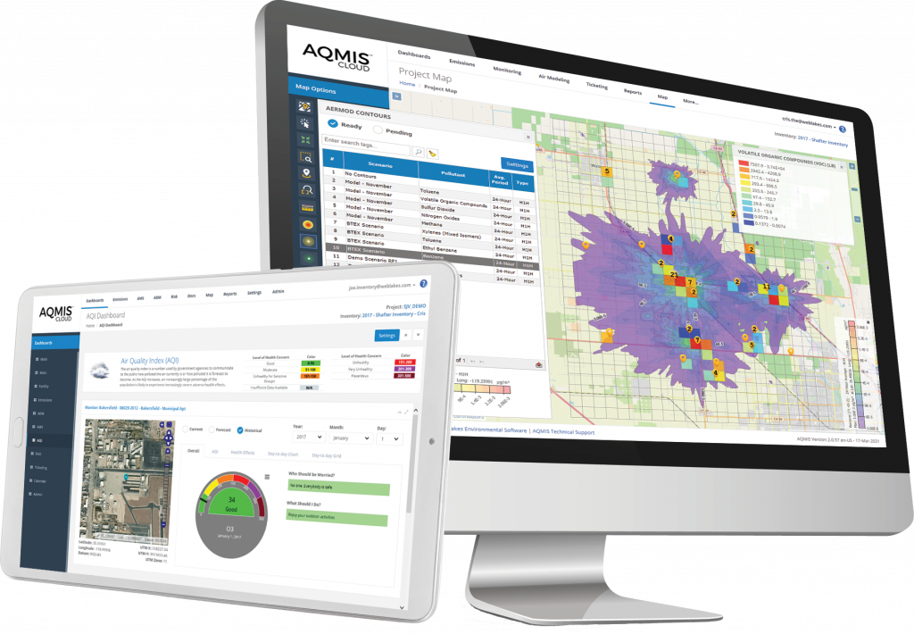
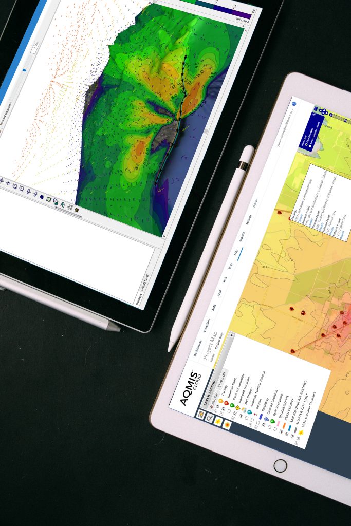
AQMIS CLOUD
INTEGRATED EMISSIONS, MONITORING, MODELING, AND RISK
-
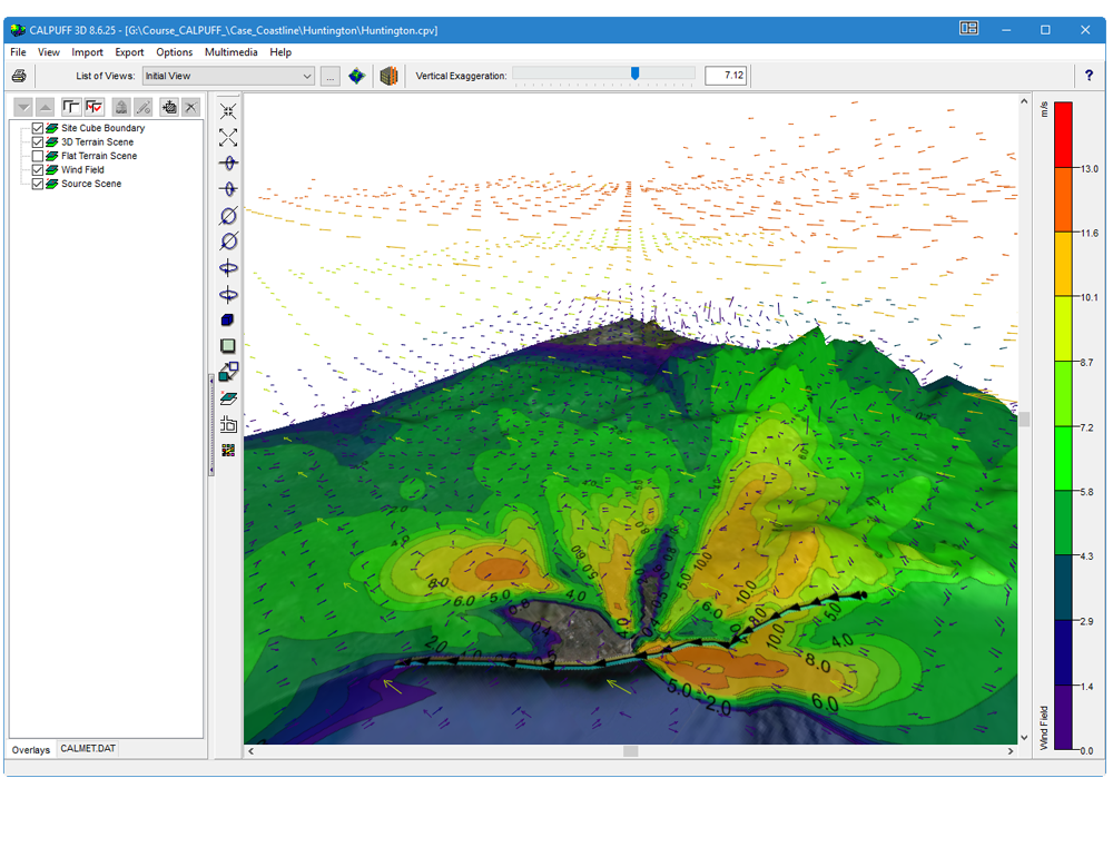
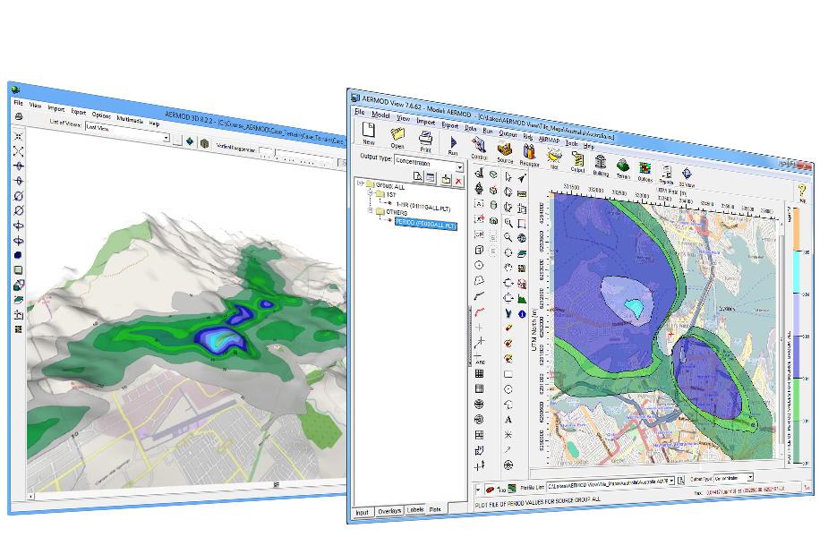
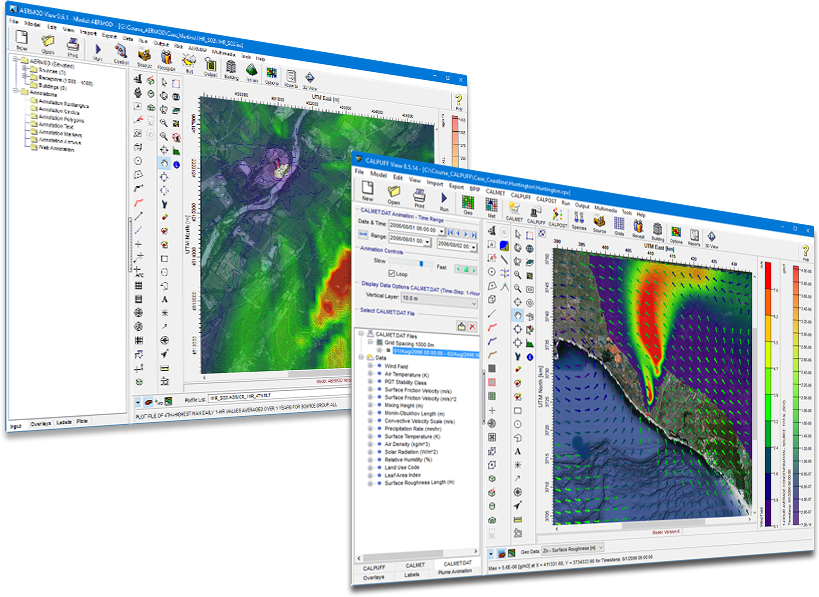
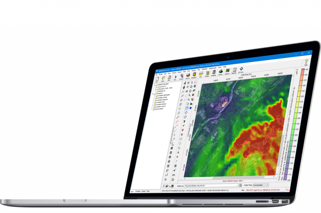
Using a Different AERMOD Interface?
Switch to AERMOD View and Save!
-
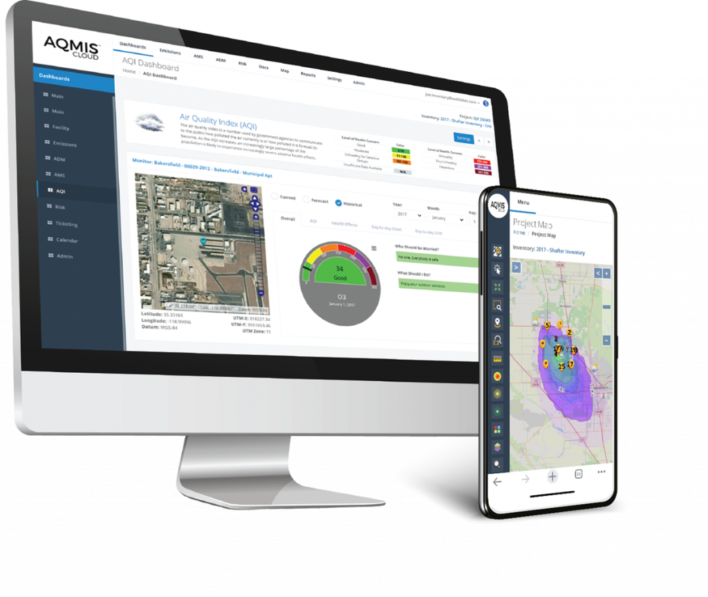
AQMIS SAAS
The Next Generation Environmental
Management and Analysis Platform
-
TRAINING COURSES
WITH EXPERTS IN ENVIRONMENTAL MODELING
-
TECHNICAL SUPPORT
DEDICATED WORLD CLASS EXPERTS
-
MODELING RUNS
DON'T LET YOUR COMPUTER SLOW YOU DOWN
-
MET DATA SERVICES
WRF | STATION | CUSTOM RUNS
Air Dispersion - Compliance - Emissions Inventory - Risk Assessment - Climate Change
Lakes Environmental is committed to supplying robust and easy-to-use software, training, and services to consulting companies, industry, governmental agencies, and academia.
Since 1995, Lakes Environmental has been recognized internationally for its technologically advanced software and its exceptional expertise in the area of environmental science.
Since 1995, Lakes Environmental has been recognized internationally for its technologically advanced software and its exceptional expertise in the area of environmental science.
WORLD LEADER
Our graphical Windows-based interfaces revolutionized the air dispersion modeling software field, while our leading risk assessment software packages continue to break new ground. Our software packages are updated regularly to incorporate the latest technology providing sophisticated, powerful software tools to you.
CLIENTS
Our robust and easy-to-use air dispersion modeling software is supplied to consulting companies, industries, governmental agencies and academia.
RESEARCH
Our expert technical staff investigates new areas of research continues to provide state-of-the-science software based on current knowledge.
CLIENT TESTIMONIALS
PROVEN SOLUTIONS THAT GUARANTEE YOUR SUCCESS
Our proven Commercial-Off-The-Shelf (COTS) web-based environmental air quality management solutions eliminate implementation risks, provide cost assurance, and are fully operational in three months or less.