
AERMOD View: Working with the Plots Tab
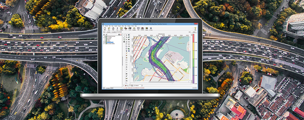
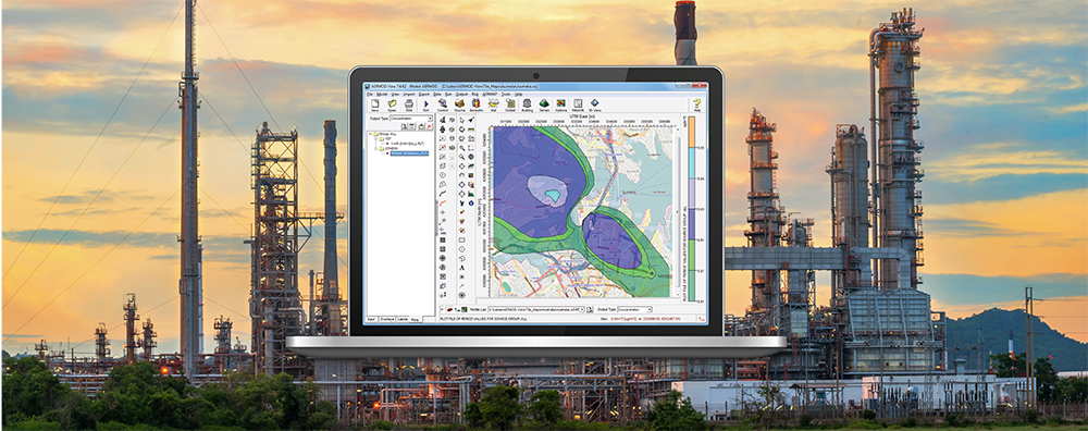
In a previous modeling tip, we provided an overview of working with layers within Lakes Environmental Software products. In the popular AERMOD View application, the Plots tab lists all available contour plot output files for display and analysis.