Key Features
AERSCREEN View is built with features crafted by expert meteorologists and engineers who work hands-on with air dispersion models, ensuring it meets the real-world needs of today’s modelers for successful results.
Integrated Graphical User Interface
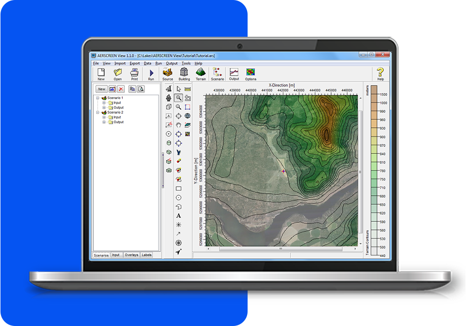
A fully integrated interface that combines intuitive graphical tools, such as those for managing sources and buildings, with model run batcher. These graphical tools simplify the setup of complex scenarios, making it easy for users to configure models. The model run batcher enhances productivity by automating multiple runs, allowing for efficient scenario management. Additionally, the advanced output display offers clear visualizations of results, helping users interpret data more effectively.
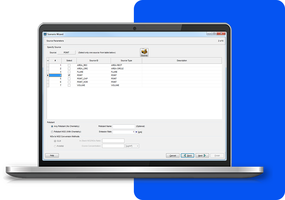
Scenario Wizard
Allows you to quickly and easily set up modeling scenarios in AERSCREEN View. Data blocks are intuitively grouped for simple data entry, streamlining the setup process. Incorporate downwash, terrain effects, meteorological options, and more with ease to create comprehensive air quality models in just a few steps.
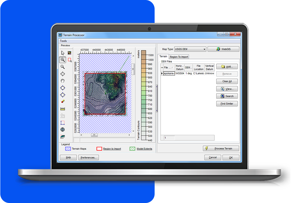
Terrain Processors with Auto Downloads
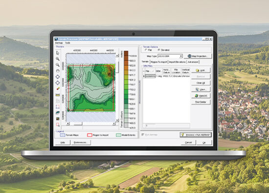
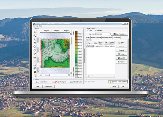
Advanced terrain processing capabilities are available for multiple terrain data formats, including NED, SRTM, and USGS DEM. The system also supports the automated download of terrain data files directly from webGIS sources. Additionally, SRTM3 terrain data with a 90-meter resolution is accessible globally.
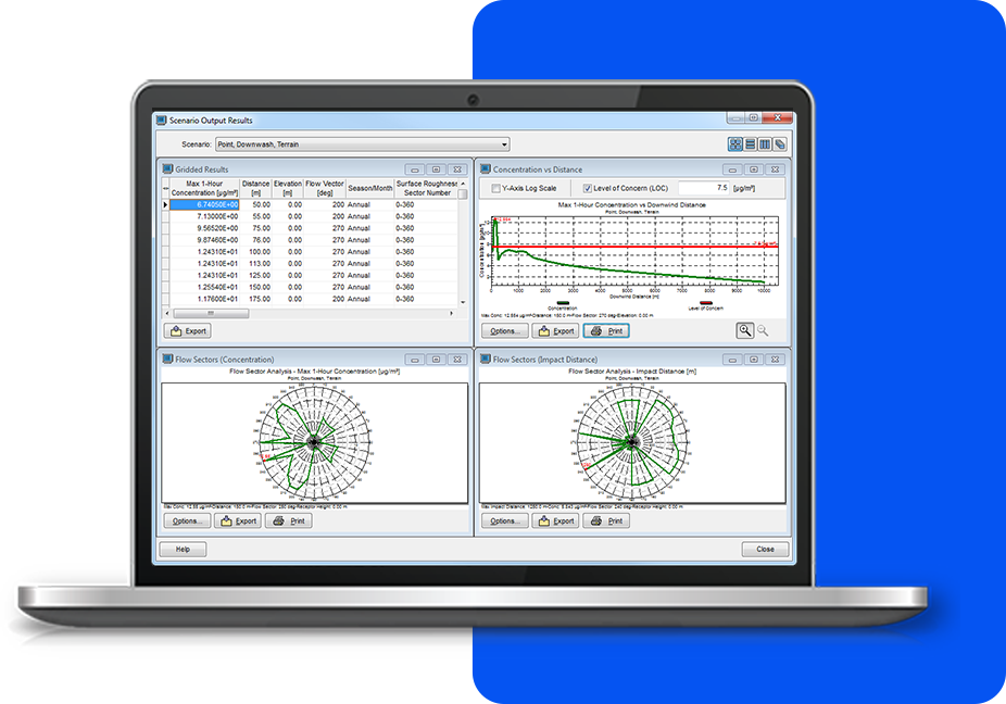
Advanced Output Viewer
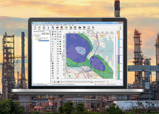
You can review output from each scenario in various formats, including detailed text output files and tabular concentration data. These formats provide information allowing for in-depth analysis. Additionally, fully customizable output graphics are available to help visually interpret the results. This flexibility ensures that users can analyze data in the format that best suits their needs.
Additional Features
AERSCREEN View offers more than just an intuitive interface. Every copy comes fully equipped with all the tools you need to complete your project - no need for expensive add-ons
Data Tree Display
Model Run Batcher
Model Integration
Latest Software Tips
Unlock the full potential of your environmental software with expert guidance. These tips will help you streamline processes, improve accuracy, and maximize efficiency in every project.


