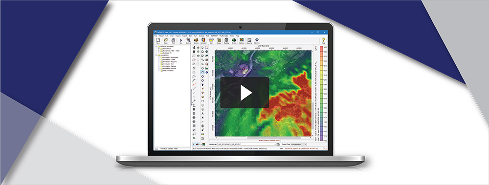
AERSURFACE is a tool developed by the U.S. Environmental Protection Agency (USEPA) which uses digital land cover data to objectively calculate numeric values of surface characteristics (i.e. albedo, Bowen ratio, and surface roughness) required by AERMET, the meteorological preprocessor for the AERMOD air dispersion model.
As discussed in last month’s newsletter, the new AERMOD View Version 9.9.0 includes the most recent update to the AERSURFACE tool dated 20060. This includes major enhancements such as:
- Inclusion of National Land Cover Database 2016 data products in addition to 2011, 2006, & 2001
- Supplemental tree canopy and impervious percentage data inputs
- Ability to define individual surface roughness sectors as airport-based, and more
Lakes Environmental Software presented a webinar on the new AERSURFACE. You can watch the videos below. In Part 1, we discuss the changes implemented by the USEPA in the 20060 release.
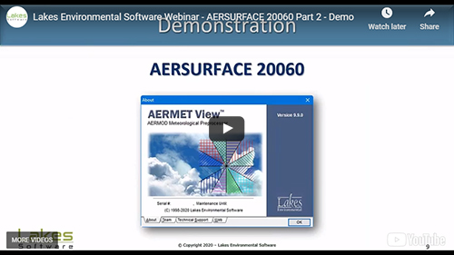
In Part 2, we present a live demonstration of the new AERSURFACE Utility included in AERMET View Version 9.9.0. This includes features like Station Location selection within the Preview window, accessing land cover data products via WebGIS, and more.
Finally, in Part 3, we answer your questions about AERSURFACE and the updated AERMOD View.
