AERSURFACE is a tool developed by the U.S. Environmental Protection Agency (US EPA) which uses digital land cover data to objectively calculate numeric values of surface characteristics (i.e. albedo, Bowen ratio, and surface roughness) required by AERMET, the meteorological preprocessor for the AERMOD air dispersion model.
In February 2019, the US EPA released a new version of AERSURFACE dated 19039_DRFT. This update included several major enhancements to the tool, like the ability to process more recent land cover data products.
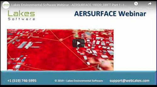
Lakes Environmental recently presented a webinar on AERSURFACE. In Part 1, we discuss what AERSURFACE is, how it works, and we outline the changes implemented by the US EPA in the 19039_DRFT release.
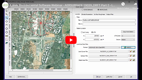
In Part 2, we present a demonstration of the new AERSURFACE Utility included in AERMET View Version 9.7. This includes features like the new Preview window with Tile Maps access, downloading land cover files, and more.