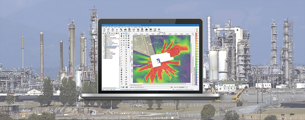
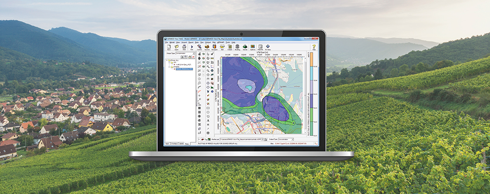
1-170 Columbia St. W

AERMOD View

  • October 24, 2024

AERMOD View: AERMET’s New Upper Air Data Format – IGRA

Late on the evening of September 26, 2024, Hurricane Helene made landfall in Florida’s Big Bend region. A Category 4 storm at the time, the storm caused significant extensive impacts to the southeastern United States with significant impacts in western North Carolina. The National Oceanic and Atmospheric Administration’s (NOAA) National Centers for Environmental Information (NCEI) headquartered in Asheville, NC faced power outages and loss of network connectivity for a period of several weeks following the storms dissipation.

  • September 26, 2024

AERMOD View: Custom Terrain Data

AERMAP is the terrain preprocessor program for incorporating terrain elements into air dispersion modeling analyses conducted using the AERMOD dispersion modeling system. Natively, AERMAP reads two types of terrain data:

  • August 22, 2024

AERMOD View: Understanding 1-Hour NO2 & SO2 NAAQS Options

In 2010, the United States Environmental Protection Agency (U.S. EPA) revised the National Ambient Air Quality Standards (NAAQS) for short-term nitrogen dioxide (NO2) and sulfur dioxide (SO2). Due to the unique forms of these standards – which are based on annual distributions of daily maximum hourly concentrations as opposed to the distribution of all hourly values – the AERMOD air dispersion model had to be updated to perform calculations accordingly.

  • April 14, 2024

Customizing the Main Display

Lakes Software’s commercial applications all feature a similar look and feel. This familiarity allows users to easily execute a variety of air dispersion models even when accessing a brand-new product for the first time. The image below uses AERMOD View to demonstrate the key components of each Lakes Software application.

  • March 19, 2024

AERMOD View: Counting Concentration Exceedances

When conducting an air dispersion modeling analysis, modelers may want to know not just what the value of the maximum concentration is but also how frequently concentrations exceed some upper limit or threshold. The U.S. EPA AERMOD air dispersion model comes with an option to extract these exceedances: the Threshold Violation File or MAXIFILE. Lakes Software’s AERMOD View application goes a step further and automatically counts those exceedances so that modelers can easily determine the frequency of such violations.

  • February 20, 2024

AERMOD View: Concentration Converter

We previously discussed a fundamental limitation of the CALPUFF modeling system which places finite limits on how many objects and calculations the various system executables can handle in a single project.