1-170 Columbia St. W

AERMOD View

  • October 15, 2019

AERMOD View: AERMOD’s New RLINE Source Type

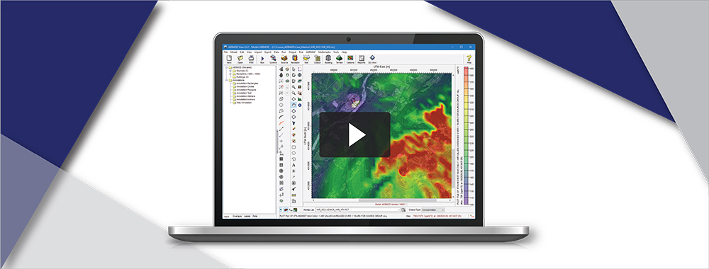
The U.S. EPA released the latest update to the AERMOD modeling system – dated 19191 – on August 21, 2019. One of the major formulation updates in this release is the addition of the RLINE source type .

  • September 16, 2019

Lakes Software Allpications: Plant Blanking Boundary Layer

When viewing results from an air dispersion model run, the primary concern of many modelers are conditions measured at receptors located in areas generally accessible by the public. This may preclude modeling from occurring within well-defined property boundaries that restrict public access to a facility.

  • August 15, 2019

AERMOD View: Using the New AERSURFACE Utility

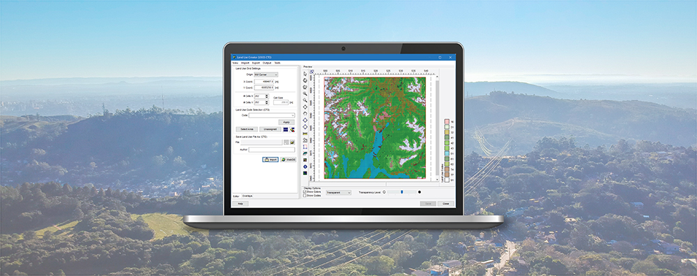
AERSURFACE is a tool developed by the U.S. Environmental Protection Agency (US EPA) which uses digital land cover data to objectively calculate numeric values of surface characteristics (i.e. albedo, Bowen ratio, and surface roughness) required by AERMET, the meteorological preprocessor for the AERMOD air dispersion model.

  • July 16, 2019

AERMOD View: Import Discrete Receptors

The latest update to AERMOD View, Version 9.7, expands the discrete receptor import capabilities making it easier to add receptors – including sensitive receptors – to a project. Using the application-supported CSV file format, AERMOD View can now import additional parameters such as Receptor ID and sensitive receptor flags.

  • June 17, 2019

AERMOD View: AERMET View’s Surface Met Data QA

The latest update to AERMET View (Version 9.7) includes a new tool which automates the process of assessing meteorological data quality using advanced quality assurance (QA) procedures. In a previous Modeling Tip, we highlighted the QA options built into the AERMET model. The tool analyzes the surface file output by AERMET (*.SFC) and reports quality of variables being passed to the AERMOD model.

  • May 22, 2019

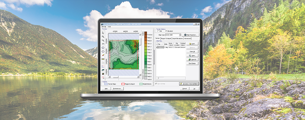
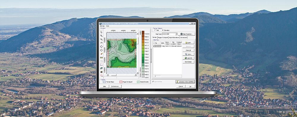
AERMOD View: Defining Domain in AERMAP

AERMAP is the US EPA’s terrain preprocessor for the AERMOD modeling system. AERMAP reads digital terrain data (e.g., USGS 3DEP [formerly NED] digital elevation models in GeoTIFF format) and calculates base elevations for sources and receptors and hill height scale factors for receptors. An integral part of executing AERMAP is identifying the files which will cover the modeling domain and satisfy these calculations.