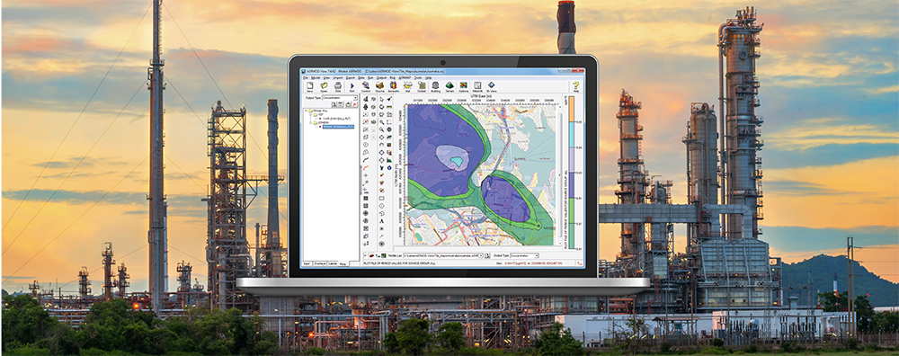
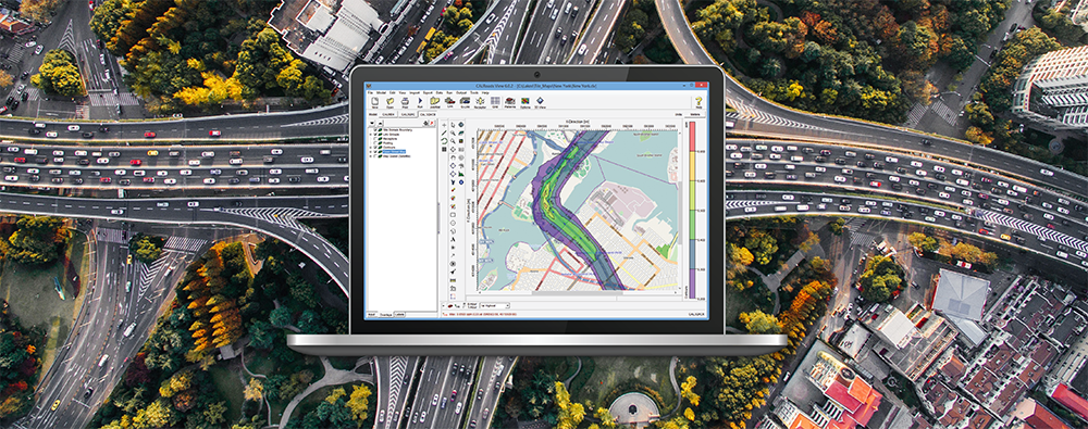
1-170 Columbia St. W

Air Dispersion Modeling

  • May 29, 2025

CALRoads View: Meteorology Options

CALRoads View is Lakes Software’s interface for handling the CALINE series of air dispersion models. Used for assessing air pollutant concentrations from on-road emissions of motor vehicles, CALRoads View includes three models: CALINE4, CAL3QHC, and CAL3QHCR.

  • April 29, 2025

AERMOD View: U.S. EPA’s Regional, State, & Local (RSL) Dispersion Modelers’ Workshop

The U.S. EPA’s Air Quality Modeling Group (AQMG) recently announced that their annual Dispersion Modelers’ Workshop will be held in Nashville, TN from July 8-10, 2025. This year’s Workshop will not feature a “Stakeholder Day” for members of the general public.

  • March 18, 2025

AERMOD View: Using COARE Algorithms in AERMET

Several months ago, we published a Modeling Tip discussing important changes to processing upper air with the AERMET meteorological preprocessor. Since that time, the U.S. EPA released the 24142 versions of AERMET and other AERMOD modeling system components. This update expanded AERMET’s capabilities for handling the Integrated Global Radiosonde Archive (IGRA) upper air data format, and Lakes Software’s AERMET View Version 13.0 provides further optimization for users.

  • February 25, 2025

AERMOD View: Updates to Upper Air Processing with AERMET 24142

Several months ago, we published a Modeling Tip discussing important changes to processing upper air with the AERMET meteorological preprocessor. Since that time, the U.S. EPA released the 24142 versions of AERMET and other AERMOD modeling system components. This update expanded AERMET’s capabilities for handling the Integrated Global Radiosonde Archive (IGRA) upper air data format, and Lakes Software’s AERMET View Version 13.0 provides further optimization for users.

  • January 30, 2025

AERMOD View: National Land Cover Database Updates

AERSURFACE is a non-regulatory component of the AERMOD air dispersion modeling system. The tool reads digital land cover data and objectively calculates surface characteristics for input to the AERMET meteorological preprocessor. Input to AERSURFACE comes from the USGS National Land Cover Database (NLCD) distributed through the Multi-Resolution Land Cover Consortium (MRLC).

  • December 17, 2024

U.S. EPA’s Guideline on Air Quality Models Published

In last month’s newsletter, we discussed that the U.S. EPA Administrator signed the final rule updating Appendix W to 40 CFR Part 51 – the Guideline on Air Quality Models. This final rule revised the scientific formulation in the AERMOD modeling system.