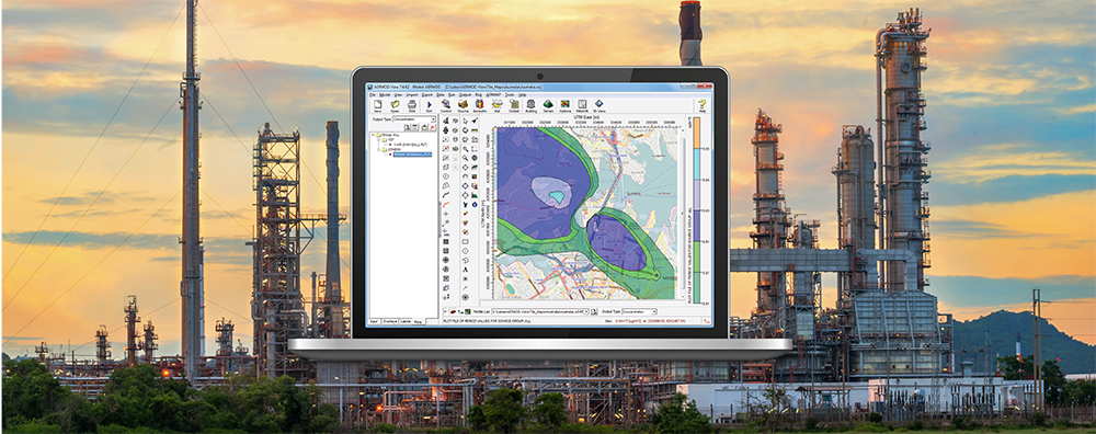
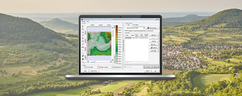
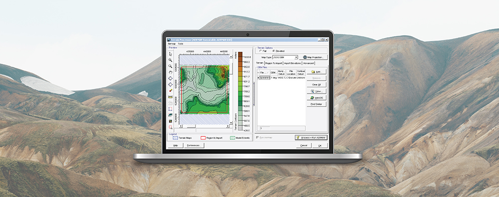
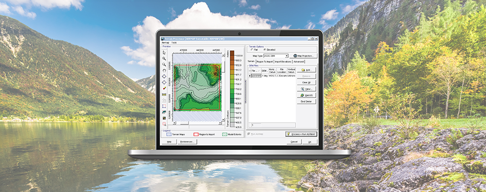
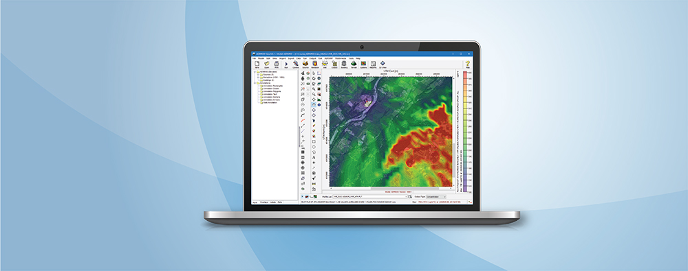
1-170 Columbia St. W

Air Dispersion Modeling

  • November 16, 2020

Graphical Options: Contour Cut Off in Lakes Software Applications

When conducting an air dispersion modeling analysis, the ability to present high-quality graphical depictions of the output is extremely important. Such images provide context to modeled results, and they provide a valuable tool to modelers in understanding and explaining the model’s calculations.

  • October 15, 2020

AERMOD View: Distance Limitations

When conducting an air dispersion modeling analysis with AERMOD, a common question arises as to what limits – if any – exist on where calculations can be performed by the model. Understanding the range of the model’s validity is important in interpreting results.

  • September 15, 2020

SLAB View: Adding or Importing Chemicals

SLAB View can be an excellent choice for modelers needing to assess impacts and predict hazardous zones resulting from accidental releases. In addition to its easy-to-use source term and input wizard, SLAB View presents high-resolution graphical output in both 2D & 3D so modelers can quickly see how the release develops over time and what the total footprint of the release will be.

  • August 15, 2020

AERMOD View: Post-Processing Lead Concentrations in AERMOD with LEADPOST

In the United States, the National Ambient Air Quality Standard (NAAQS) for Lead is 0.15 µ/m3 as a rolling three-month average. This differs from other NAAQS in that it uses a rolling period, so a new three-month period is calculated with each successive month (e.g., January-March, February-April, etc.).

  • July 20, 2020

Lakes Software Applications: Using Annotations

One feature of Lakes Software applications that our users have come to appreciate, is the wealth of customization options available to provide high quality visualization of model output. Beyond the usual drawing tools for adding model objects, each application contains a set of Annotation Tools which allow users to add additional objects to the main display.

  • June 15, 2020

AERMOD View: Ontario: How to Handle Missing Elevations

As we described in a previous Modeling Tip, the Ontario Ministry of the Environment, Conservation and Parks (MECP) now distributes Canadian Digital Elevation Model (CDEM) data in GeoTIFF format via a portal on their website.