1-170 Columbia St. W

Video Modeling Tips

  • May 15, 2020

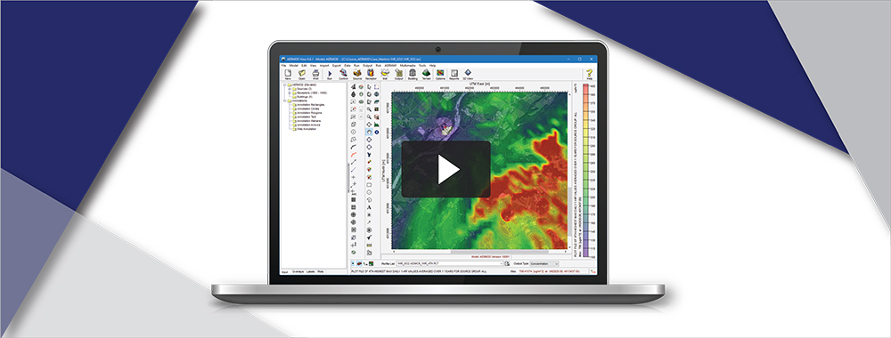
AERMOD View: AERSURFACE 20060 in AERMET View

AERSURFACE is a tool developed by the U.S. Environmental Protection Agency (USEPA) which uses digital land cover data to objectively calculate numeric values of surface characteristics (i.e. albedo, Bowen ratio, and surface roughness) required by AERMET, the meteorological preprocessor for the AERMOD air dispersion model.

  • August 15, 2019

AERMOD View: Using the New AERSURFACE Utility

AERSURFACE is a tool developed by the U.S. Environmental Protection Agency (US EPA) which uses digital land cover data to objectively calculate numeric values of surface characteristics (i.e. albedo, Bowen ratio, and surface roughness) required by AERMET, the meteorological preprocessor for the AERMOD air dispersion model.

  • March 15, 2019

AERMOD View: Import Sources from Excel

There are a number of ways to add source data to your AERMOD View project. This video shows you how to import sources using an Excel spreadsheet template.

  • January 15, 2019

CALPUFF View: Using the Background Data File Maker Utility

When using CALPUFF, modelers can add hourly background concentration or deposition flux values to the modeled results before averages are processed in CALPOST. Lakes Environmental added a Background Data File Maker utility to CALPUFF View to make this process even easier.