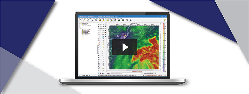
SLAB View: Adding or Importing Chemicals
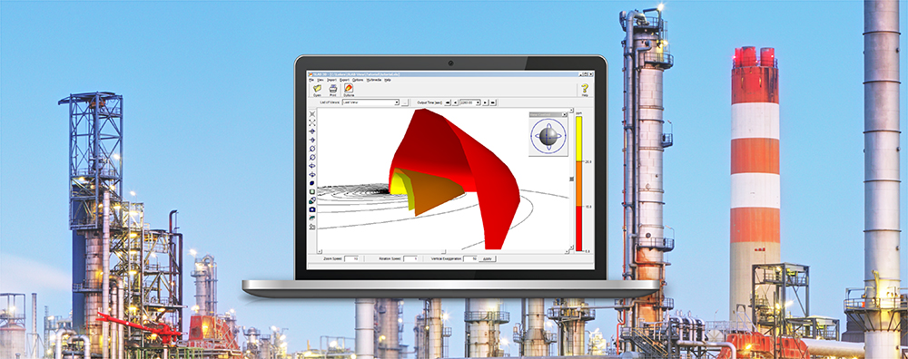
SLAB View can be an excellent choice for modelers needing to assess impacts and predict hazardous zones resulting from accidental releases. In addition to its easy-to-use source term and input wizard, SLAB View presents high-resolution graphical output in both 2D & 3D so modelers can quickly see how the release develops over time and what the total footprint of the release will be.