CALPUFF View – Customizing Land Use Properties
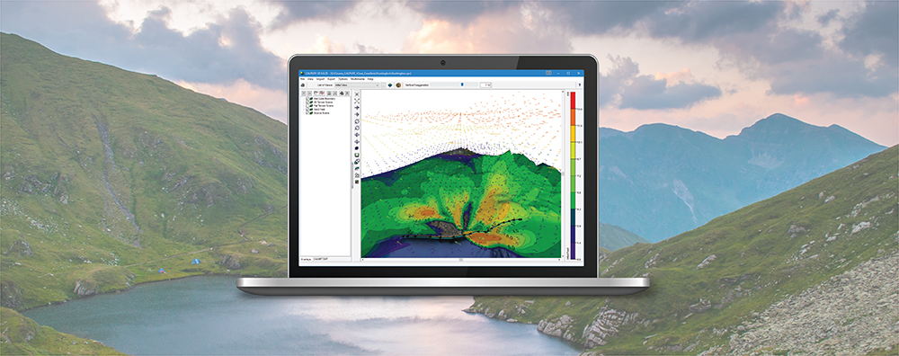
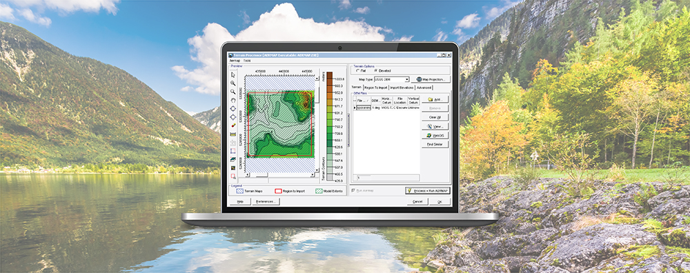
A major step in any CALPUFF modeling study is to calculate geophysical properties of the modeling domain. The CALPUFF modeling system contains several preprocessors to perform these calculations.
A major step in any CALPUFF modeling study is to calculate geophysical properties of the modeling domain. The CALPUFF modeling system contains several preprocessors to perform these calculations.
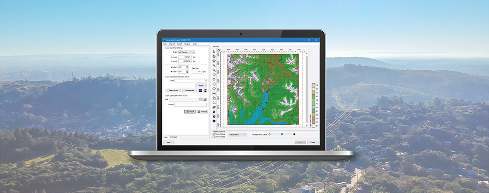
Land use data is vital to air quality modeling because the types of land cover encountered within the modeling domain play a big role in calculating atmospheric stability. Turbulence parameterization will be very different in a heavily populated urban area compared to a flat, grassy field or a large body of water. Digital land use data is available in a wide variety of formats, and the new CALPUFF View Version 9.0 now allows users to import land use data in shapefile format.
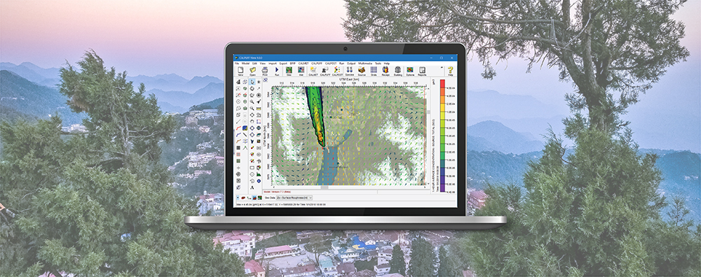
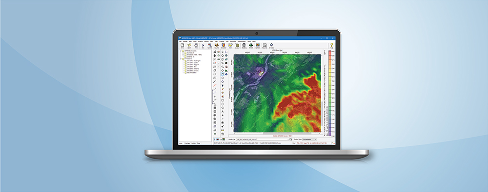
In past modeling tips, we have discussed how to estimate sub-hourly pollutant concentrations using AERMOD, a Gaussian plume dispersion model with an hourly minimum time step. Now we look at how a similar concept can be modeled using a different modeling system – CALPUFF.
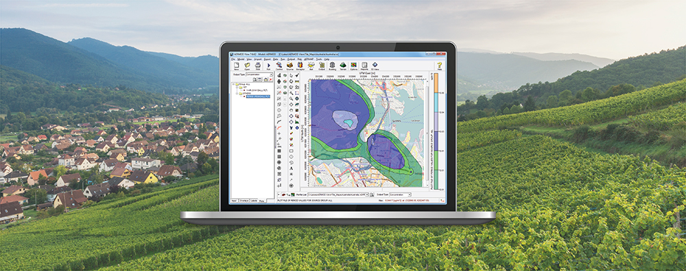
Dispersion within urban environments has different characteristics than that occurring in a rural environment. The urban boundary layer will behave in a more convective, turbulent manner during the hours just after sunset due to the urban heat island effect. AERMOD has capabilities to model this boundary layer by enabling the urban dispersion coefficient.
The Ontario Ministry of the Environment, Conservation and Parks (MECP) distributes pre-processed regional meteorological data and terrain data as required under Ontario Regulation 419/05. Data are hosted on the MECP website at https://www.ontario.ca/environment-and-energy/map-regional-meteorological-and-terrain-data-air-dispersion-modelling.
The U.S. EPA released the latest update to the AERMOD modeling system – dated 19191 – on August 21, 2019. One of the major formulation updates in this release is the addition of the RLINE source type .