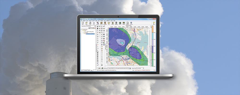
1-170 Columbia St. W

Modeling Tips

  • February 25, 2025

AERMOD View: Updates to Upper Air Processing with AERMET 24142

Several months ago, we published a Modeling Tip discussing important changes to processing upper air with the AERMET meteorological preprocessor. Since that time, the U.S. EPA released the 24142 versions of AERMET and other AERMOD modeling system components. This update expanded AERMET’s capabilities for handling the Integrated Global Radiosonde Archive (IGRA) upper air data format, and Lakes Software’s AERMET View Version 13.0 provides further optimization for users.

  • January 30, 2025

AERMOD View: National Land Cover Database Updates

AERSURFACE is a non-regulatory component of the AERMOD air dispersion modeling system. The tool reads digital land cover data and objectively calculates surface characteristics for input to the AERMET meteorological preprocessor. Input to AERSURFACE comes from the USGS National Land Cover Database (NLCD) distributed through the Multi-Resolution Land Cover Consortium (MRLC).

  • December 17, 2024

U.S. EPA’s Guideline on Air Quality Models Published

In last month’s newsletter, we discussed that the U.S. EPA Administrator signed the final rule updating Appendix W to 40 CFR Part 51 – the Guideline on Air Quality Models. This final rule revised the scientific formulation in the AERMOD modeling system.

  • November 21, 2024

AERMOD View and AERMET View: Updates

As described above, the U.S. EPA has been busy this month! Major updates to the Guideline on Air Quality Models and associated changes to the AERMOD Modeling System mean that Lakes Environmental will be very busy in the coming weeks as we update AERMOD View & AERMET View to incorporate the new models.

  • October 24, 2024

AERMOD View: AERMET’s New Upper Air Data Format – IGRA

Late on the evening of September 26, 2024, Hurricane Helene made landfall in Florida’s Big Bend region. A Category 4 storm at the time, the storm caused significant extensive impacts to the southeastern United States with significant impacts in western North Carolina. The National Oceanic and Atmospheric Administration’s (NOAA) National Centers for Environmental Information (NCEI) headquartered in Asheville, NC faced power outages and loss of network connectivity for a period of several weeks following the storms dissipation.

  • September 26, 2024

AERMOD View: Custom Terrain Data

AERMAP is the terrain preprocessor program for incorporating terrain elements into air dispersion modeling analyses conducted using the AERMOD dispersion modeling system. Natively, AERMAP reads two types of terrain data: