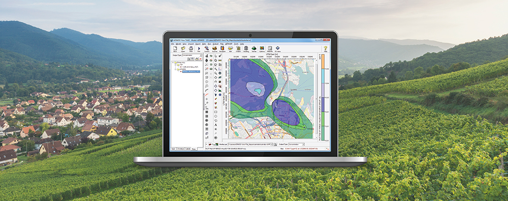
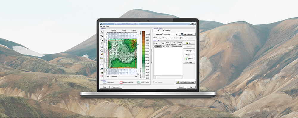
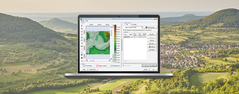
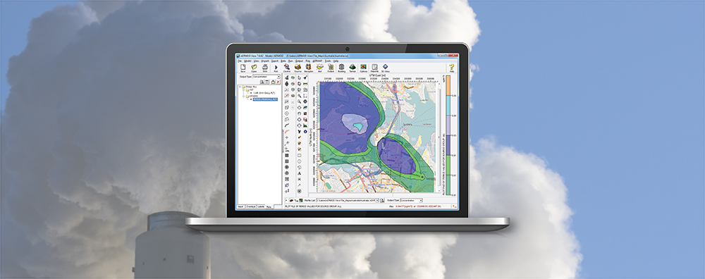
AERMOD View and AERMET View: Updates
As described above, the U.S. EPA has been busy this month! Major updates to the Guideline on Air Quality Models and associated changes to the AERMOD Modeling System mean that Lakes Environmental will be very busy in the coming weeks as we update AERMOD View & AERMET View to incorporate the new models.


