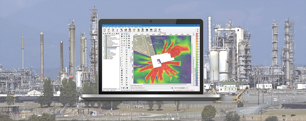
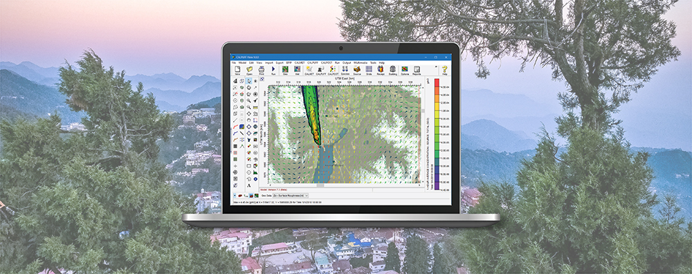
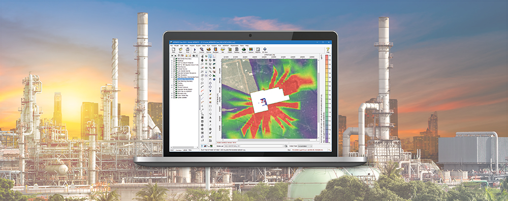
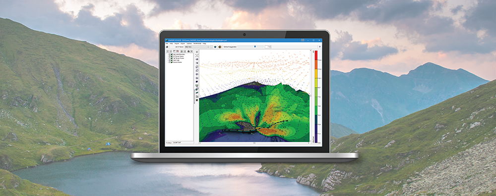
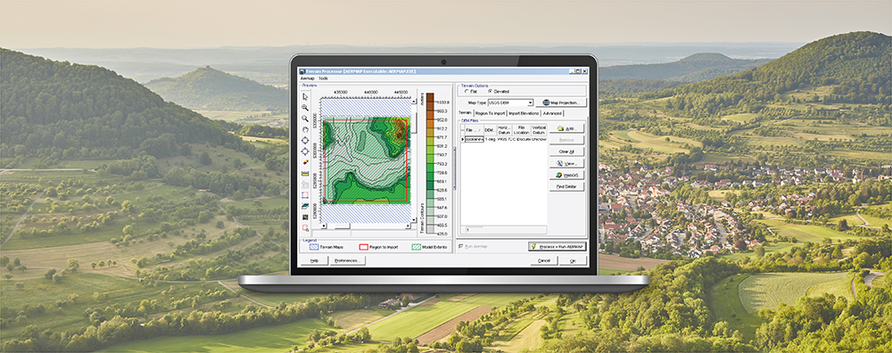
1-170 Columbia St. W

Modeling Tips

  • March 17, 2022

CALPUFF View: Automated Coastline Download

One feature of the CALPUFF model is the ability to depict coastal interaction effects. Since the land surface can heat more rapidly than adjoining water, a Thermal Internal Boundary Layer (TIBL) can form and bring elevated source plumes close to the ground.

  • February 24, 2022

AERMOD View: Reporting Plant Boundary Results

Previous Modeling Tips have covered different aspects of identifying plant boundaries in an AERMOD View project. This modeling tip describes plant boundary visualization capabilities and the ability to separate onsite and offsite impacts.

  • January 19, 2022

AERMOD View: Decrease AERMAP Runtimes

AERMAP is the US EPA’s terrain preprocessor for the AERMOD modeling system. AERMAP reads digital terrain and calculates base elevations for sources and receptors and hill height scale factors for receptors.

  • December 15, 2021

AERMOD View: Concentration File Maker Utility

The AERMOD air dispersion model allows users to input time-varying concentration data to represent background sources to be added to the model’s calculations. This can be done by directly adding background concentrations to modeled pollutant concentrations or, in the case of nitrogen dioxide (NO2), by adding background ozone or NOx concentrations to assist in estimating how much NO2 is formed through chemical transformation.

  • November 24, 2021

CALPUFF View: Defining Receptors in CALPOST

The CALPUFF model allows users to specify receptors in two different formats.

  • October 19, 2021

AERSCREEN View: Understanding AERSCREEN Results

The AERSCREEN model estimates worst-case impacts of ground-level concentrations for a single source by interfacing with the screening mode built into the AERMOD executable.