1-170 Columbia St. W

Modeling Tips

  • June 22, 2022

CALPUFF View: Parameter Limits

The CALPUFF modeling system is very sophisticated and supports a wide range of modeling scenarios. One limitation of the system is that there are finite numbers of objects that can be specified on the model input parameters.

  • May 18, 2022

AERMOD View: Using Flagpole Receptors

Air dispersion models are only capable of calculating concentration at specific locations. These locations are called receptors. In the U.S. EPA’s AERMOD air dispersion model, concentration calculations at each receptor are done at the ground level as opposed to some height above ground.

  • April 25, 2022

Lakes Software Applications: Defining Shapefile Map Projections

A key feature of Lakes Software’s commercial products is the ability to easily import base maps in a wide variety of file formats. Supported formats include raster images (e.g., JPG, BMP, PNG, GIF, etc.), AutoCAD DXF, Digital Line Graphs (DLG), Shapefiles, and more.

  • March 17, 2022

CALPUFF View: Automated Coastline Download

One feature of the CALPUFF model is the ability to depict coastal interaction effects. Since the land surface can heat more rapidly than adjoining water, a Thermal Internal Boundary Layer (TIBL) can form and bring elevated source plumes close to the ground.

  • February 24, 2022

AERMOD View: Reporting Plant Boundary Results

Previous Modeling Tips have covered different aspects of identifying plant boundaries in an AERMOD View project. This modeling tip describes plant boundary visualization capabilities and the ability to separate onsite and offsite impacts.

  • January 19, 2022

AERMOD View: Decrease AERMAP Runtimes

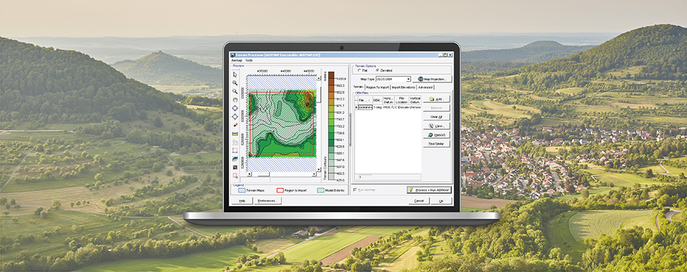
AERMAP is the US EPA’s terrain preprocessor for the AERMOD modeling system. AERMAP reads digital terrain and calculates base elevations for sources and receptors and hill height scale factors for receptors.