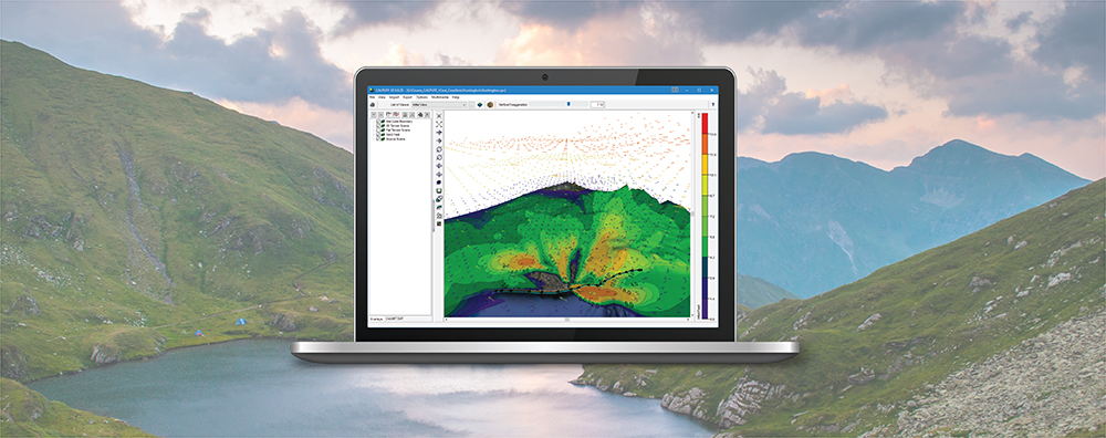
AERMOD View: Decrease AERMAP Runtimes
AERMAP is the US EPA’s terrain preprocessor for the AERMOD modeling system. AERMAP reads digital terrain and calculates base elevations for sources and receptors and hill height scale factors for receptors.
The AERMOD air dispersion model allows users to input time-varying concentration data to represent background sources to be added to the model’s calculations. This can be done by directly adding background concentrations to modeled pollutant concentrations or, in the case of nitrogen dioxide (NO2), by adding background ozone or NOx concentrations to assist in estimating how much NO2 is formed through chemical transformation.
The CALPUFF model allows users to specify receptors in two different formats.
The AERSCREEN model estimates worst-case impacts of ground-level concentrations for a single source by interfacing with the screening mode built into the AERMOD executable.
As we have discussed in this space before, presenting high-quality graphical depictions of air dispersion modeling output is vital to communicating the meaning of the calculations. The Graphical Options within Lakes Software’s wide range of commercial products give users the customization options that modelers need.
The AERMOD air dispersion model features many different settings which provide users the ability to customize how model output is presented. Within the model’s Source Pathway are multiple options for grouping sources, but just what do all these different groups mean?