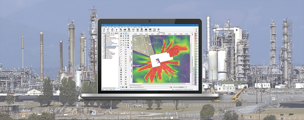
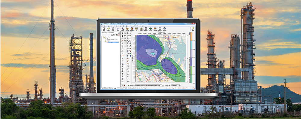
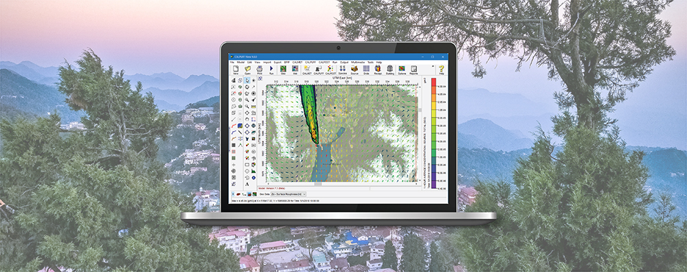
1-170 Columbia St. W

CALPUFF View

  • April 15, 2019

Lakes Software Applications: Using the Lakes Project Backup Utility

Most air dispersion modeling analyses will result in a large number of data files. Besides input and output files, projects can contain meteorological data, terrain data, digital base maps, and other external data files. Whether you’re modeling a simple scenario in AERMOD or a complex regional study in CALPUFF, there will be many different file types to account for.

  • January 15, 2019

CALPUFF View: Using the Background Data File Maker Utility

When using CALPUFF, modelers can add hourly background concentration or deposition flux values to the modeled results before averages are processed in CALPOST. Lakes Environmental added a Background Data File Maker utility to CALPUFF View to make this process even easier.

  • November 15, 2018

CALPUFF View: Sensitive Receptor Summary Report

When conducting an air quality modeling analysis, you may be called on to compute concentrations at sensitive receptors. While specific definitions of sensitive receptors vary from one jurisdiction to the next, it most commonly refers to receptors used in a modeling analysis to represent a sensitive population. Examples include schools, daycare facilities, hospitals, care facilities, and more.

  • October 15, 2018

CALPUFF View: Creating Projects from MMIF Output

The Mesoscale Model Interface Program (MMIF) formats prognostic meteorological model (WRF, MM5) output for use in air quality models.

  • March 15, 2013

CALPUFF View: Puff Tracking

CALPUFF is an air dispersion model that advects ‘puffs’ of material emitted from modeled sources, simulating dispersion and transformation processes along the way. These puffs can be displayed graphically using debug information written to the main CALPUFF output file (CALPUFF.LST). With CALPUFF View, modelers can visualize puffs as animations in Google Earth.