

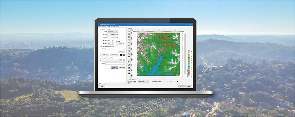
WebGIS provides access to global geophysical data for air dispersion modeling, risk assessment, and other technical applications. Lakes Software’s commercial products – such as AERMOD View, CALPUFF View, and more – integrate WebGIS to automatically download terrain and land use data directly into projects.
This saves modelers time by reducing the need to locate, download, and prepare data from multiple external sources.
Beginning with AERMOD View Version 13.1, WebGIS now hosts a new terrain dataset: NASADEM.
NASADEM is a reprocessed version of elevation data collected by the Shuttle Radar Topography Mission (SRTM), which has long been available through WebGIS. Its updated processing incorporates improved geolocation and revised methods for filling gaps in the original data. NASADEM tiles provide the same geographic coverage and resolution (30 meters / 1 arc-second) as the existing SRTM1 Version 3 dataset in WebGIS, covering land areas between 60°N and 56°S latitude.
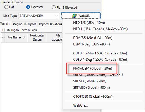
AERMOD View users with current maintenance can access NASADEM in the new Version 13.1 that was released earlier this month. Accessing NASADEM uses the same procedure as all WebGIS products:
Step 1: Open AERMOD View’s Terrain Processor via the Terrain tool button

Step 2: Select SRTM/NASADEM as the Map Type
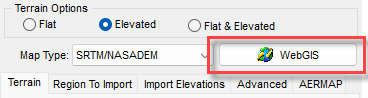
Step 3: Click the WebGIS button
Step 4: Choose NASADEM (Global ~30m) from the drop-down list
Support for NASADEM will be added to other Lakes products, including CALPUFF View and AERSCREEN View, in future updates.