1-170 Columbia St. W

CALPUFF View

  • March 17, 2022

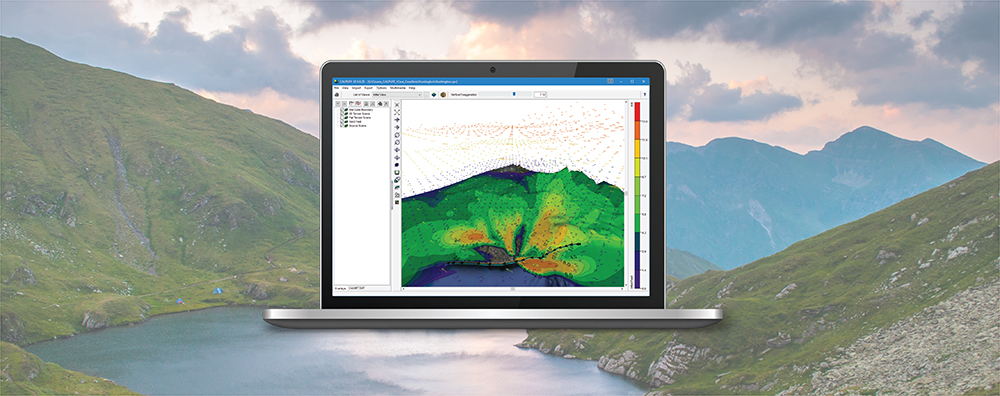
CALPUFF View: Automated Coastline Download

One feature of the CALPUFF model is the ability to depict coastal interaction effects. Since the land surface can heat more rapidly than adjoining water, a Thermal Internal Boundary Layer (TIBL) can form and bring elevated source plumes close to the ground.

  • November 24, 2021

CALPUFF View: Defining Receptors in CALPOST

The CALPUFF model allows users to specify receptors in two different formats.

  • November 16, 2020

Graphical Options: Contour Cut Off in Lakes Software Applications

When conducting an air dispersion modeling analysis, the ability to present high-quality graphical depictions of the output is extremely important. Such images provide context to modeled results, and they provide a valuable tool to modelers in understanding and explaining the model’s calculations.

  • July 20, 2020

Lakes Software Applications: Using Annotations

One feature of Lakes Software applications that our users have come to appreciate, is the wealth of customization options available to provide high quality visualization of model output. Beyond the usual drawing tools for adding model objects, each application contains a set of Annotation Tools which allow users to add additional objects to the main display.

  • March 16, 2020

CALPUFF View – Customizing Land Use Properties

A major step in any CALPUFF modeling study is to calculate geophysical properties of the modeling domain. The CALPUFF modeling system contains several preprocessors to perform these calculations.

  • February 17, 2020

CALPUFF View: Mapping Land Use Data in Shapefile Format

Land use data is vital to air quality modeling because the types of land cover encountered within the modeling domain play a big role in calculating atmospheric stability. Turbulence parameterization will be very different in a heavily populated urban area compared to a flat, grassy field or a large body of water. Digital land use data is available in a wide variety of formats, and the new CALPUFF View Version 9.0 now allows users to import land use data in shapefile format.